Real-time Scanning, Real-time Results
See your 3D data come to life as you scan. Eliminate reshoots and boost field productivity with real-time point cloud visualization.
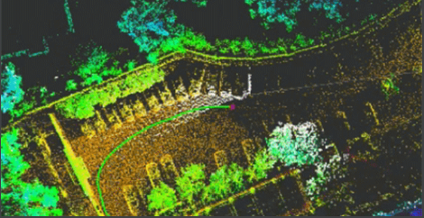
1 CM Thickness, 3 CM Absolute Accuracy
High-density point clouds with 1 cm thickness, capturing fine structural details. 3 cm absolute accuracy, making it meets the requirements of high-precision 3D mapping applications.

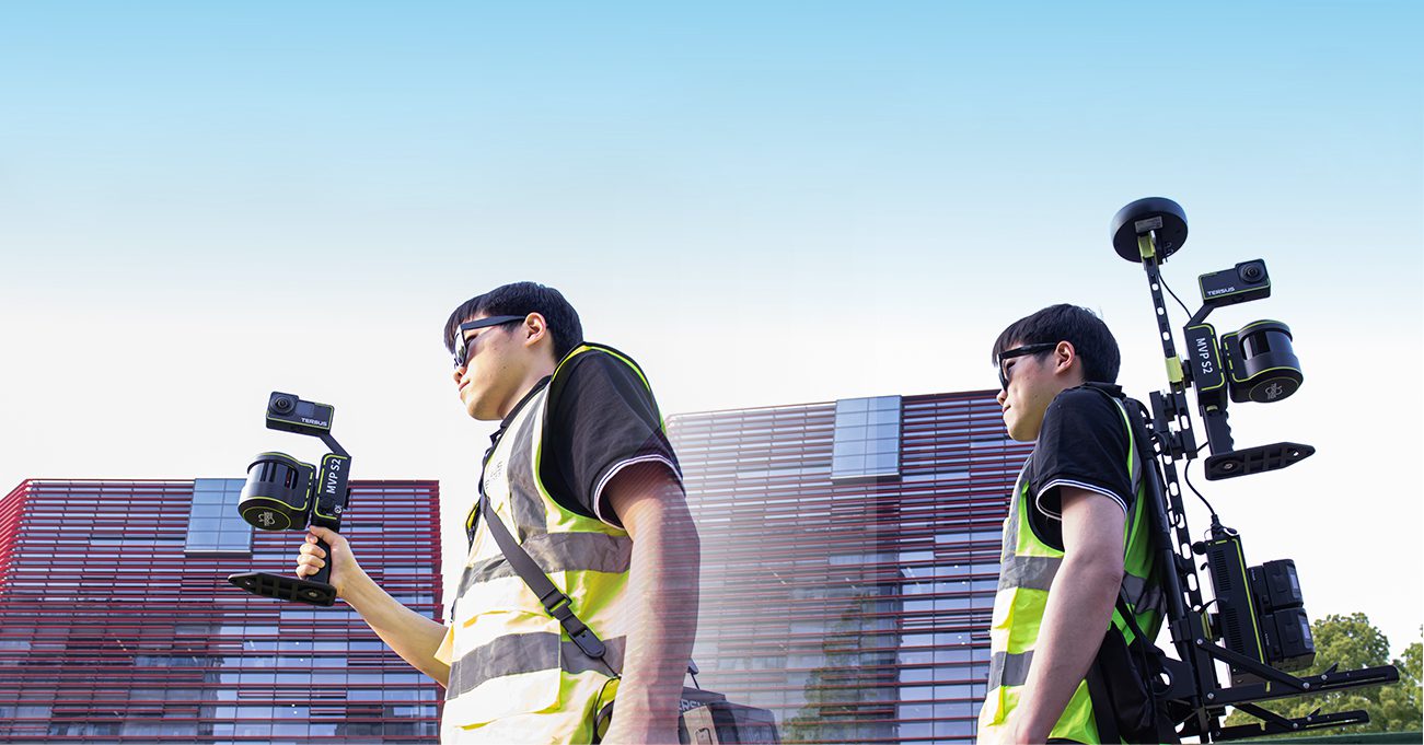
Hot-Swap Battery, Nonstop Operation
Work as long as you do—up to 3 hours per battery set, with hot-swappable support for uninterrupted missions.

Handheld or Backpack, Flexible Choice
Supports both handheld and backpack modes, allowing flexible configuration based on operational needs for easy scanning.
Remove Moving Objects, Cleaner Point Cloud
Intelligent moving object filtering removes distractions for sharper, cleaner point cloud.

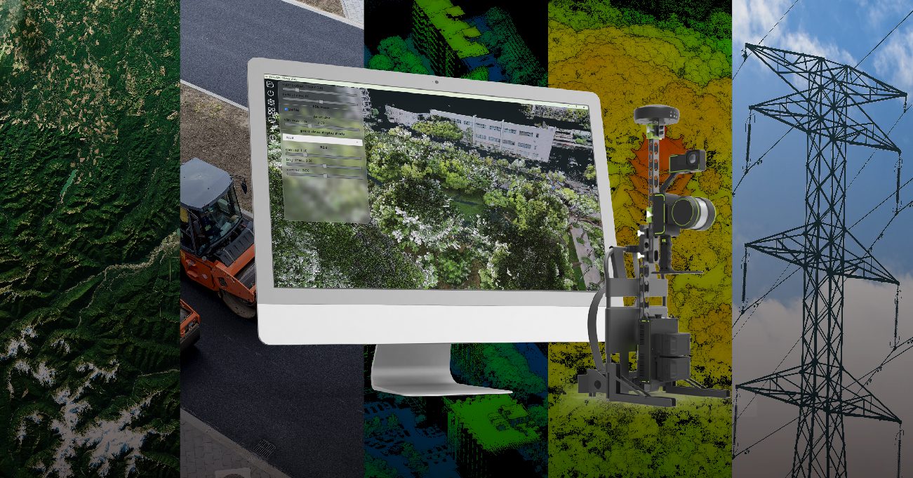
All-in-One System, Diverse Application Scenarios
Fully equipped with LiDAR, panoramic imaging and RTK, it is ideal for smart city mapping, BIM modeling, transportation infrastructure, and geospatial surveys in complex environments.